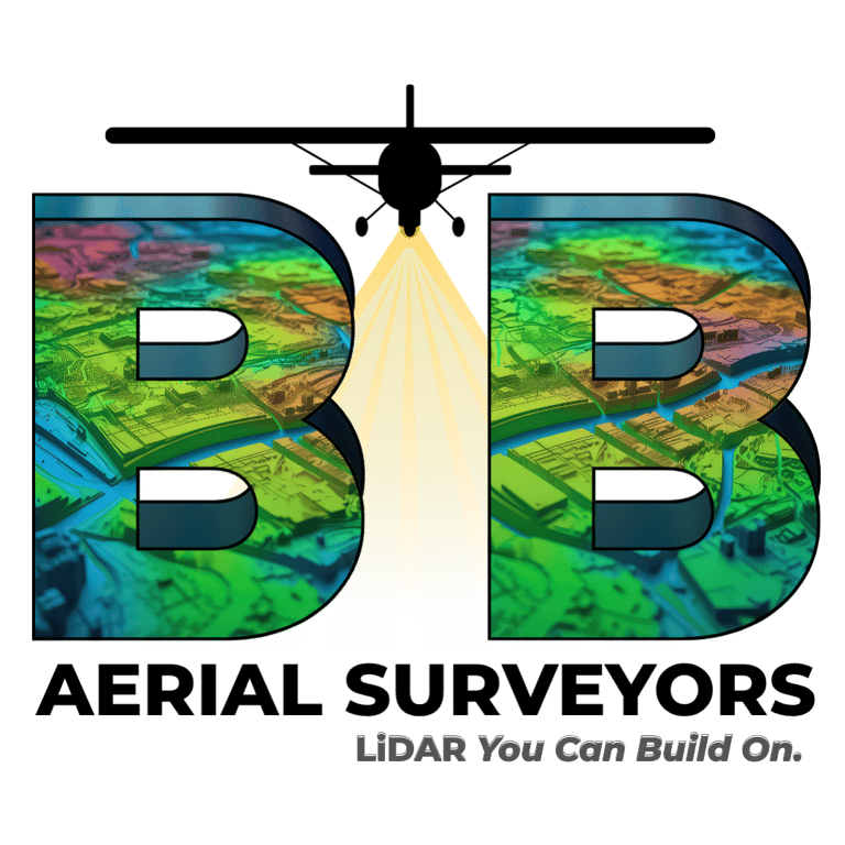
LiDAR You Can Build On
BB Aerial Surveyors - Trusted South African fixed-wing LiDAR specialists, delivering high-precision mapping data for infrastructure, utilities, mining, and environmental projects across Africa.
Comprehensive Solutions
End-to-end aerial surveys from planning, capture, analysis to delivery.
Centimetre-level accuracy for complex terrains.
Expert Team
Decades of Experience
Engineers, pilots, and data experts you can trust.
All-in-one LiDAR solutions, no gaps, no guesswork.
Legacy knowledge, modern technology, trusted results.
30+ years mapping Africa’s most complex terrains.
Who We Are
With over three decades of experience, BB Aerial Surveyors provides end-to-end, high-precision aerial mapping solutions—from planning and data acquisition to analysis and final deliverables. Our fixed-wing LiDAR technology enables large-scale coverage with unmatched speed and centimetre-level accuracy, serving Africa’s most ambitious projects across diverse industries.
Our Expertise
Cutting-Edge Technology
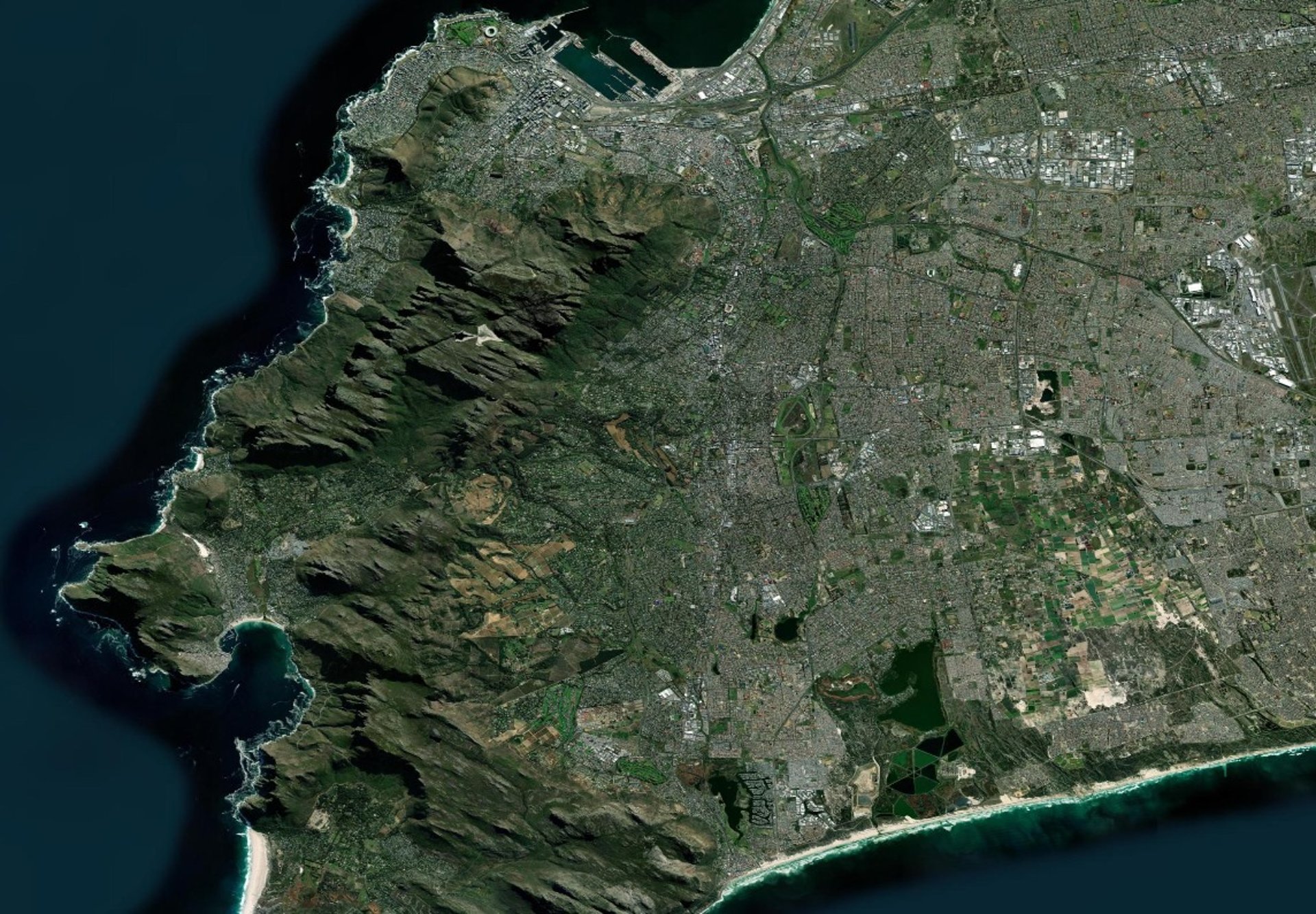
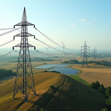
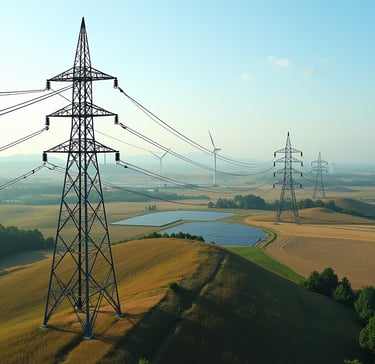
LiDAR (Light Detection and Ranging) is one of the most advanced geospatial technologies available today, using laser pulses from the air to capture billions of precise elevation points in minutes. Unlike traditional surveys, fixed-wing LiDAR delivers centimetre-level accuracy across vast, complex terrains—whether dense vegetation, rugged landscapes, or urban corridors. This unmatched combination of speed, scale, and precision provides engineering-grade data that empowers smarter planning, safer designs, and faster project delivery.
What We Do
BB Aerial Surveyors is a South Africa’s leading fixed-wing LiDAR survey firm, delivering high-precision data for power, renewables, water, sewer, roads, rail, rural, urban development, agriculture, infrastructure, mining, and environmental development across the continent. We specialize in comprehensive, end-to-end aerial survey solutions, from initial planning and data acquisition to final analysis and deliverables.
Our team combines legacy expertise with the latest airborne LiDAR technology, enabling us to cover large, complex terrains with unmatched speed and centimetre-level accuracy. Our fixed-wing capabilities offer efficiency, scale, and precision for regional, cross-border, and utility-scale projects.
At BB Aerial Surveys, we don’t just map the land, we engineer the data that powers Africa’s next generation of infrastructure.

Our Service Offering
What We Do
Airborne LiDAR Surveys
Photogrammetric Mapping & Orthophotos
Aerial Imagery & Photography
GIS & 3D Data Integration
Engineering-Grade Surveys
Corridor Mapping
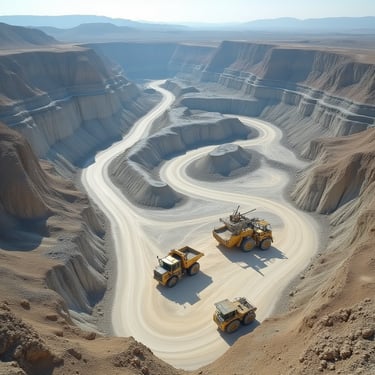
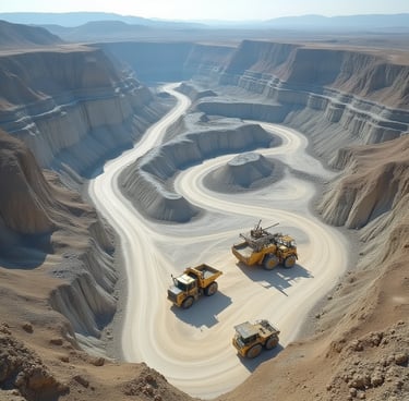
Mining & Volumetric Surveys
Environmental & Agriculture Mapping
Professional Ground Surveying
Route Selection & Feasibility Studies
Industries We Serve
At BB Aerial Surveyors, our expertise extends across a wide spectrum of industries. From powering Africa’s renewable energy future to supporting city planners, engineers, mining, and environmental specialists. Our fixed-wing LiDAR surveys deliver the precision data that drives smarter decisions. Wherever infrastructure is built, land is managed, or resources are developed, we provide the aerial insights that make projects faster, safer, and more efficient.
Transport & Infrastructure
Mining & Resources
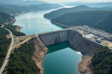
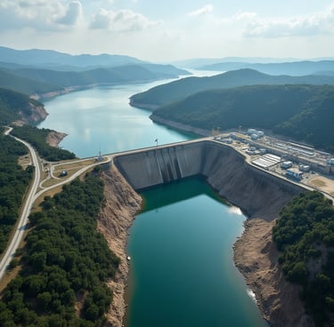
Water & Sewerage
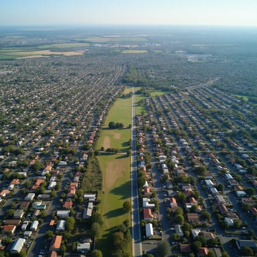
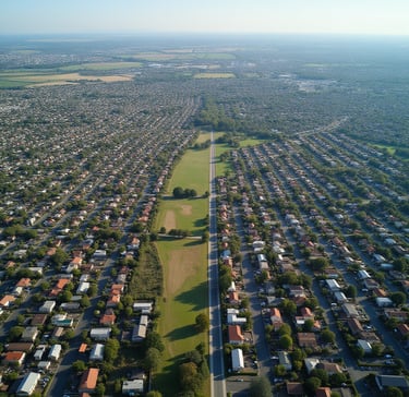
Urban & Regional Development

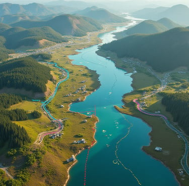
Environmental & Conservation
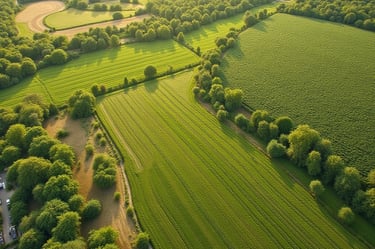
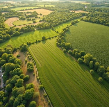
Agriculture & Land Management
Energy & Utilities


Municipalities & Government
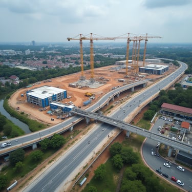
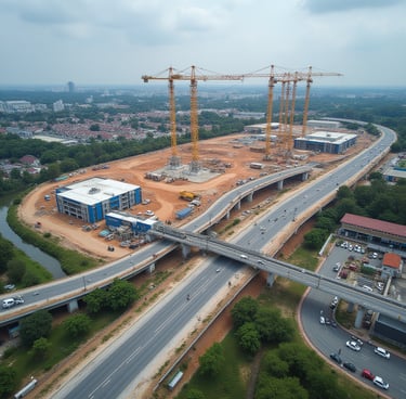
Civil Engineering & Construction
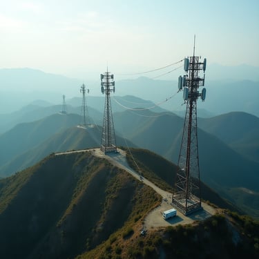
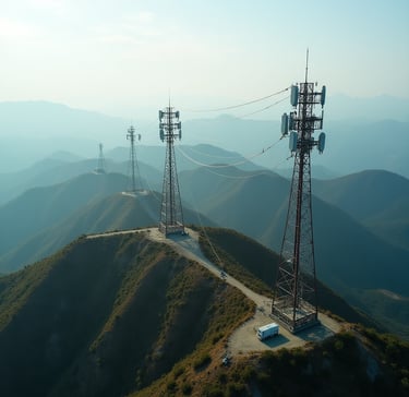
Telecommunications
Why Choose BB Aerial Surveyors
Scale & Speed: Fixed-wing LiDAR covers thousands of kilometres faster than drones.
Trusted by Industry Leaders: Supporting engineering firms, municipalities, and utilities.
Precision: Centimetre-level accuracy for engineering-grade decisions..
Experience: 30+ years, projects across Africa.
Comprehensive Solutions: From planning to as-builts, not just raw data.


Let’s Build the Future Together
Partner with BB Aerial Surveyors for precision data that powers smarter decisions and lasting infrastructure.
The accuracy of BB Aerial Surveys’ LiDAR data was unmatched. Their fixed-wing capabilities allowed us to plan over 1,200 km of transmission lines across remote terrain with confidence, while saving significant time compared to traditional methods.
Engineering Firm, Southern Africa
★★★★★
★★★★★
With BB Aerial Surveys’ data, we achieved compliance reporting far quicker than usual. Their volumetric models gave us precise stockpile measurements and pit wall data, allowing us to improve both safety and operational efficiency.

Mining House, South Africa

Contact Us
info@bbaerialsurveyors.co.za
+27-82-852-4309
© 2025 BB Aerial Surveys (Pty) Ltd. All Rights Reserved | Website designed and developed by Creative Co-Pilot — Guiding brands from idea to launch, and beyond. |
LiDAR You Can Build On
Serving South Africa & Pan-Africa
Build Smarter With LiDAR
Get expert LiDAR updates, case studies, and project insights straight to your inbox.