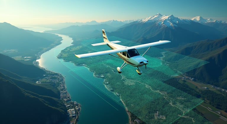
End-to-End Survey Solutions
From planning to precision deliverables, BB Aerial Surveyors delivers fast, accurate, and scalable mapping solutions trusted across Africa’s most ambitious projects.
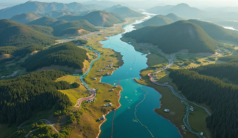
Aerial Survey Solutions
Precision mapping for diverse industries across Africa.
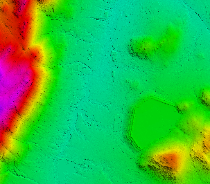
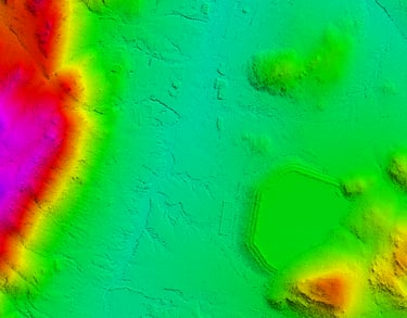
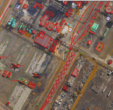
Photogrammetric Mapping & Orthophotos
We generate high-resolution orthophotos and photogrammetric maps that provide accurate, visually rich line mapping base maps for planning and design.
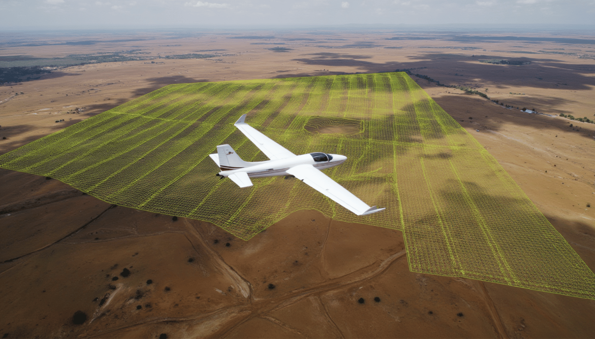
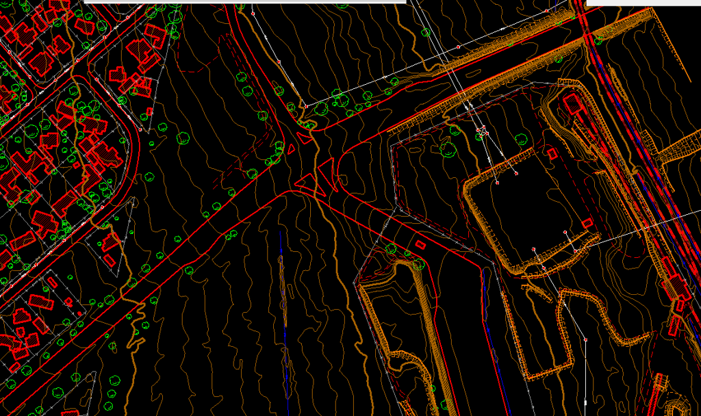
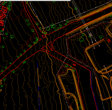
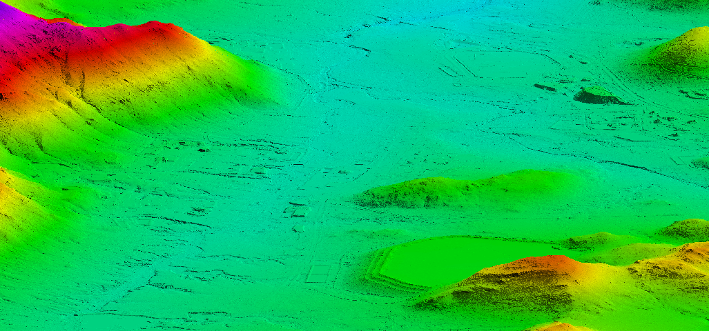
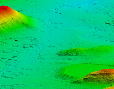
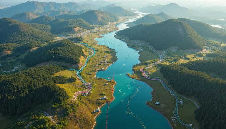
Airborne LiDAR Surveys
BB Aerial Surveyors uses advanced LiDAR technology to capture accurate terrain data at scale, delivering precision mapping for engineering, infrastructure and environmental projects.
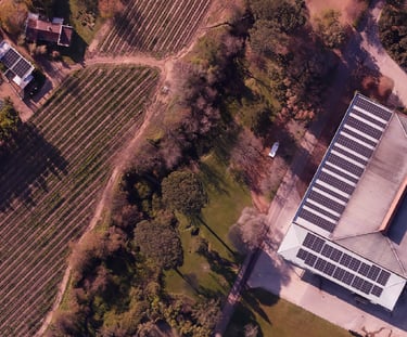
Aerial Imagery & Photography
BB Aerial Surveys offers high-resolution aerial photography and photogrammetric mapping. We capture precise stereo imagery for mapping and feature extraction, integrating with LiDAR data for comprehensive geospatial intelligence in design and planning.
GIS & 3D Data Integration
Our surveys don’t stop at raw data. We deliver GIS-ready datasets and 3D and 2D models that integrate seamlessly into your workflows, ensuring your teams can make faster, smarter, and more accurate decisions.
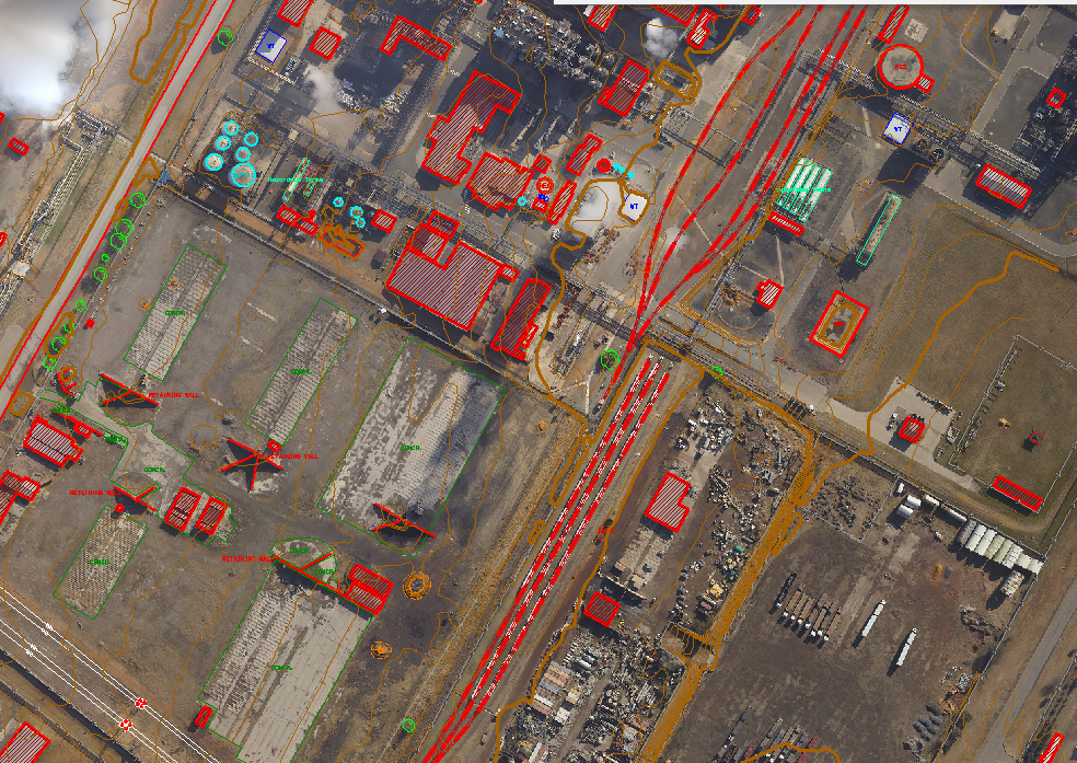
Engineering-Grade Surveys
Our LiDAR datasets provide centimetre-level accuracy for road and bridge design, flood modelling, and urban planning. Engineers rely on our surveys to reduce rework, improve safety, and accelerate project delivery.
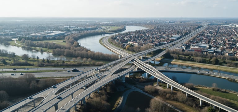
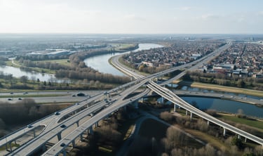
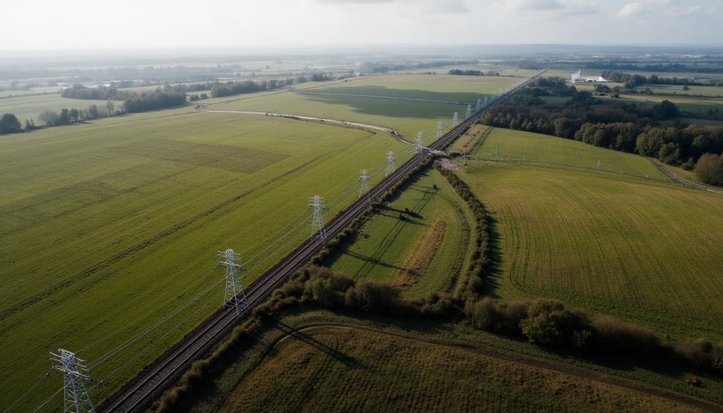
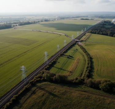
Corridor Mapping
We specialize in long linear infrastructure mapping — powerlines', pipelines, and rail networks. Our fixed-wing LiDAR surveys deliver continuous, detailed datasets over thousands of kilometres, helping clients design, build, and monitor critical corridors with confidence.
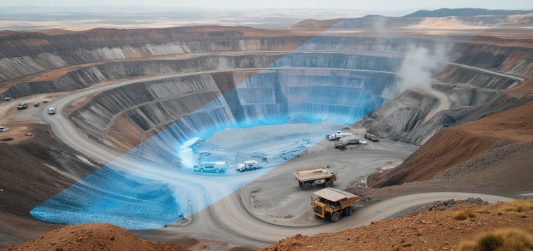
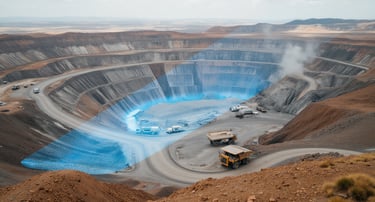
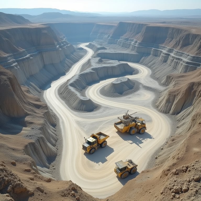
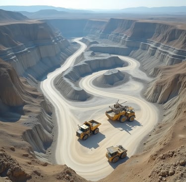
Mining & Volumetric Surveys
From open-pit design to stockpile measurements, our LiDAR technology enables mining houses to monitor volumes with unmatched speed and accuracy. We deliver repeatable data for compliance, reporting, and operational efficiency.
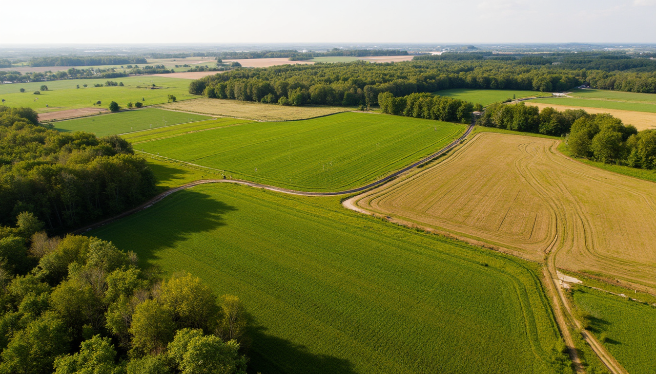
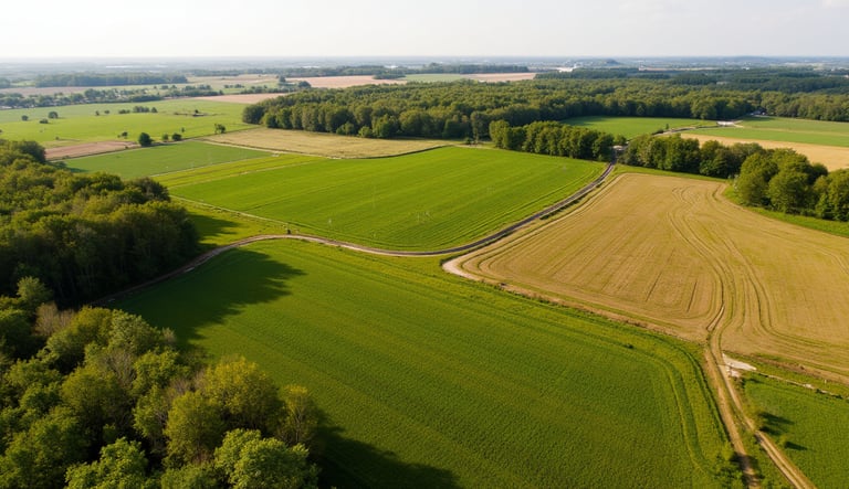
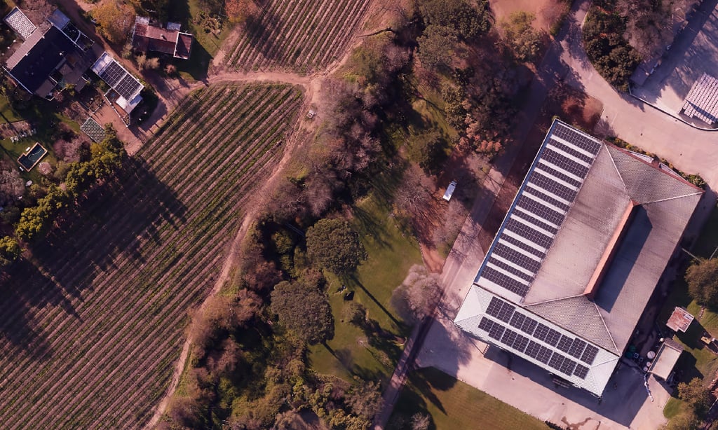
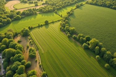
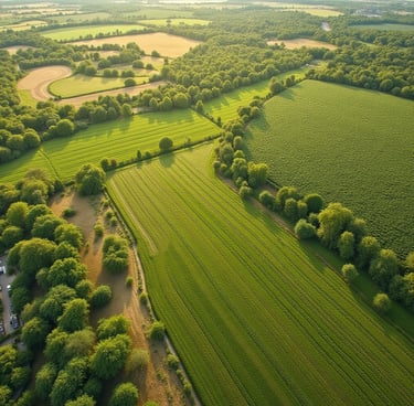
Environmental & Agriculture Mapping
From environmental impact assessments to precision agriculture, LiDAR provides the detail needed to understand landscapes at scale. We deliver datasets that support sustainable planning, conservation, and productive land use.
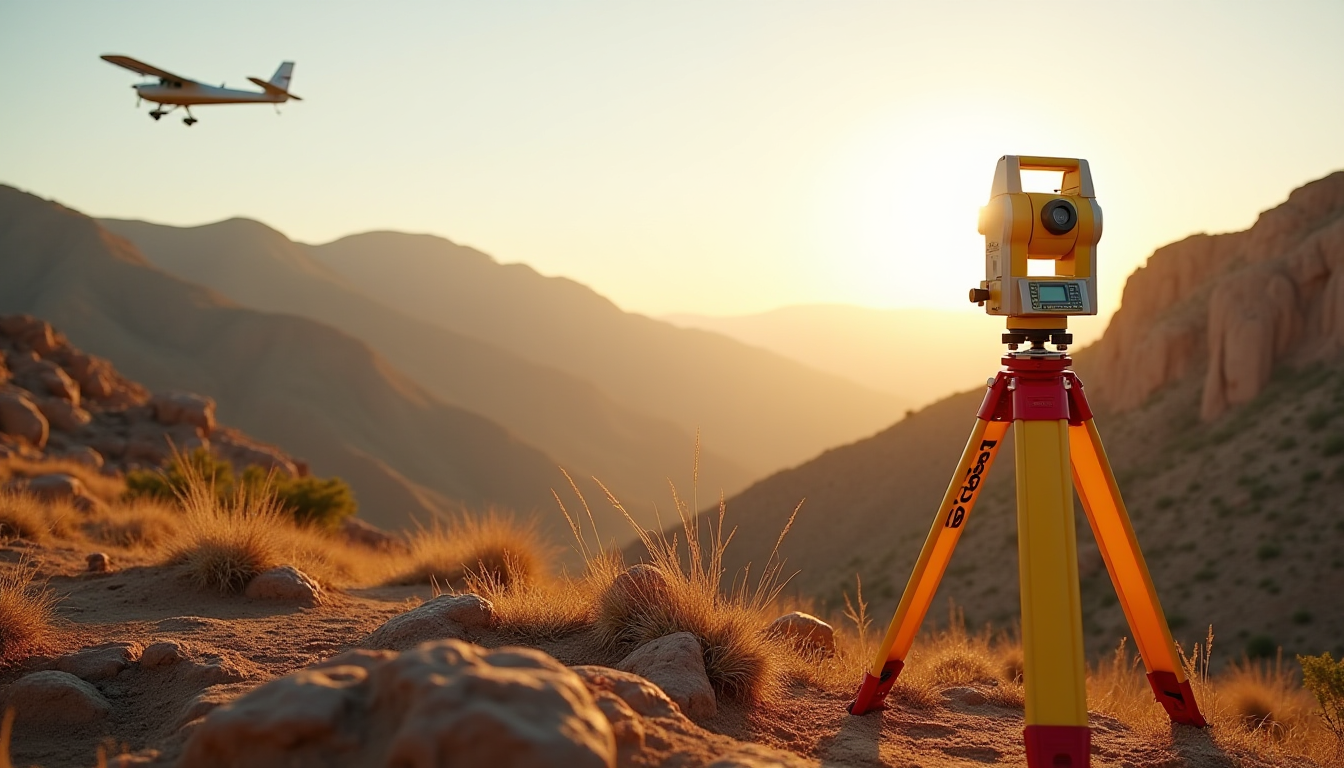
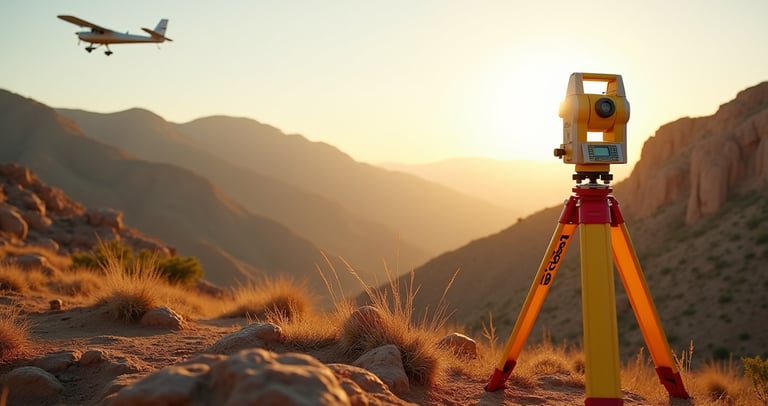
Professional Ground Surveying
Combining traditional ground survey with airborne LiDAR for validation and project support and setting out from final engineering designs. Ensures engineering-grade accuracy across every project phase.
Route Selection & Feasibility Studies
Identify the best routes for roads, rail, and pipelines. Using LiDAR, we provide precise terrain data that reduces risk and cost, ensuring reliable designs.


Industries We Service
At BB Aerial Surveyors, our expertise extends across a wide spectrum of industries. From powering Africa’s renewable energy future to supporting city planners, engineers, mining, and environmental specialists. Our fixed-wing LiDAR surveys deliver the precision data that drives smarter decisions. Wherever infrastructure is built, land is managed, or resources are developed, we provide the aerial insights that make projects faster, safer, and more efficient.
Transport & Infrastructure
Roads & highways
Rail networks
Bridges & interchanges
Airports & runways
Mining & Resources
Open-pit mining
Stockpile volumetrics
Exploration & feasibility planning
Material movement monitoring
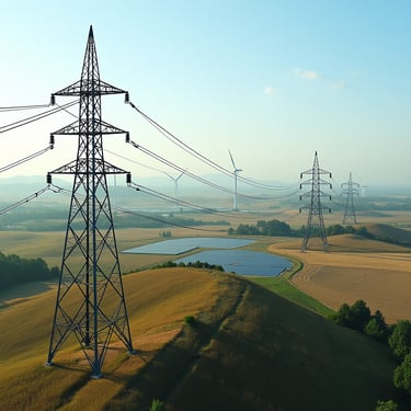
Energy & Utilities
Powerlines & transmission corridors
Renewable energy (solar, wind, hydro)
Pipelines (oil, gas, water)
Water & Sewerage
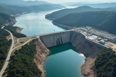
Dam & reservoir catchment modelling
Sewerage network planning
Floodplain & drainage studies
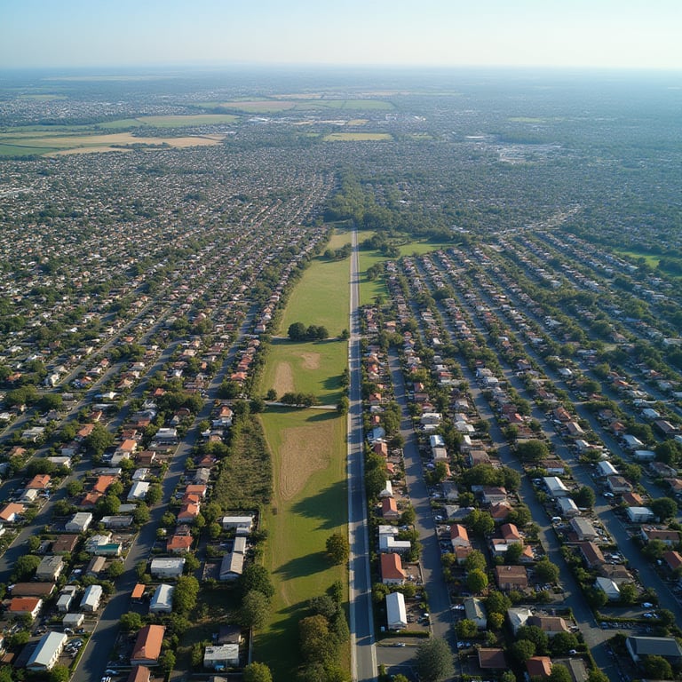
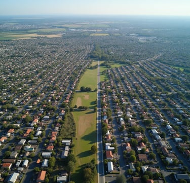
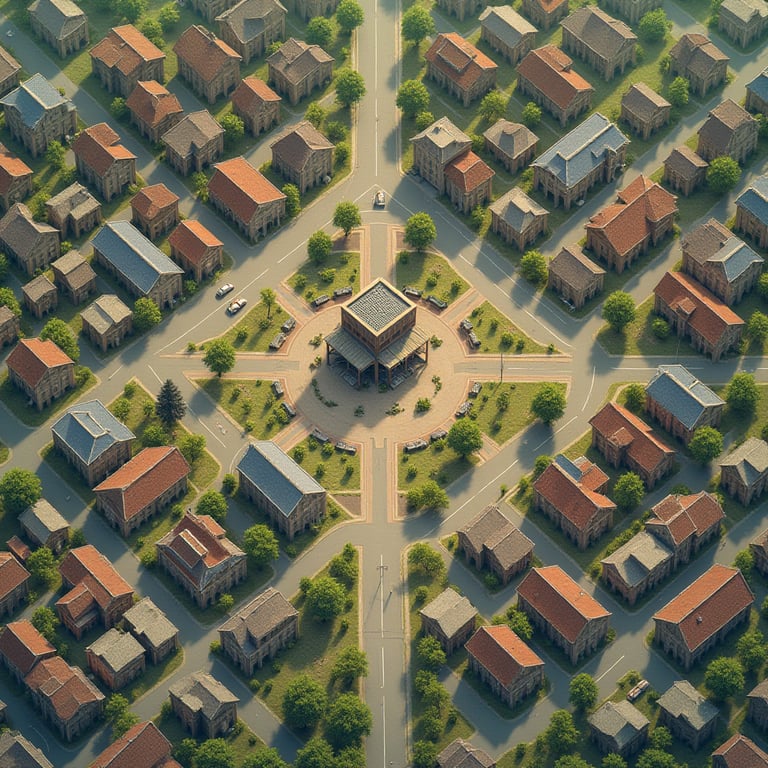
Urban & Regional Development
City planning & smart cities
Housing developments
Land parcel mapping
Utilities infrastructure
Environmental & Conservation
Wetlands & biodiversity mapping
Coastal erosion & flood risk
Forestry & vegetation studies
Environmental impact assessments (EIAs)
Agriculture & Land Management
Precision agriculture mapping
Crop health & yield optimisation
Irrigation planning
Farm infrastructure design
Municipalities & Government
Infrastructure planning
Disaster management (flood/fire risk)
Asset management
Public works projects
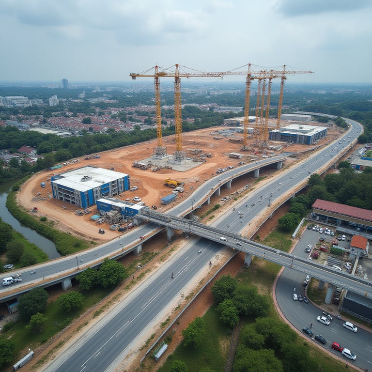
Civil Engineering & Construction
Pre-feasibility & feasibility surveys
Corridor engineering
Construction progress monitoring
As-built verification surveys
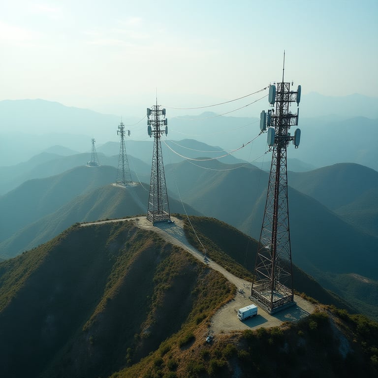
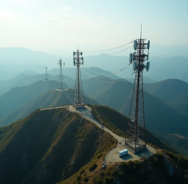
Telecommunications
Tower placements
Line-of-sight planning
Corridor feasibility studies
FAQ
Can you survey through vegetation or dense forest?
Yes. LiDAR technology penetrates vegetation canopy, allowing us to capture accurate ground elevation models even in forests or overgrown terrain where traditional surveys fail.
What types of projects do you typically support?
Who are your typical clients?
What deliverables will I receive from a LiDAR survey?
How does LiDAR compare in cost to traditional surveys?
For large or complex projects, LiDAR is more cost-effective than ground surveys because it reduces time, labour, and logistical risk. Instead of weeks or months on the ground, we capture everything in days, with higher accuracy.
We operate across South Africa and the broader African continent. Our fixed-wing platform allows us to cover regional, cross-border, and utility-scale projects with ease.
Deliverables may include point clouds, digital terrain models (DTM), digital surface models (DSM), contour maps, GIS-ready layers, volumetric analysis, and 3D models, tailored to your project’s needs.
What makes fixed-wing LiDAR better than drone surveys?
Fixed-wing LiDAR covers much larger areas, much faster, with engineering-grade accuracy. While drones are suited for small sites, our aircraft-mounted LiDAR captures kilometres of data in one flight — perfect for utilities, infrastructure, and mining projects.
How accurate is your LiDAR data?
Our fixed-wing LiDAR achieves centimetre-level accuracy, delivering reliable, engineering-grade datasets suitable for design, construction, and compliance. This precision is unmatched for large-scale projects across Africa.
We work across power, renewables, civil infrastructure, water and sewer networks, rail, roads, mining, agriculture, and environmental planning. If your project requires terrain data at scale, LiDAR is the most effective solution.
How quickly can you deliver results?
Our fixed-wing capability allows us to survey kilometres in a single mission. Depending on project size, clients typically receive processed datasets within 1–6 weeks after acquisition depending on the size.
Do you only provide raw LiDAR data, or full analysis?
We provide end-to-end solutions — from flight planning and data capture to processing, GIS integration, 3D modeling, and final deliverables. Our clients receive actionable insights, not just raw data.
What regions do you cover?
We serve civil engineering firms, energy and utility developers, mining houses, municipalities, government agencies, and environmental consultants. Our data empowers decisions that shape Africa’s infrastructure and future.
★★★★★
Their LiDAR mapping reduced our ground survey time from months to days. The accuracy of their data ensured we could finalize design alignments early and avoid costly rework during construction.

Transport Department, South Africa
★★★★★

Environmental Agency, East Africa
The floodplain models delivered by BB Aerial Surveys helped us plan sustainable irrigation and mitigate flood risks. Their insights will directly benefit local farmers and safeguard the environment.
Contact Us
info@bbaerialsurveyors.co.za
+27-82-852-4309
© 2026 BB Aerial Surveys (Pty) Ltd. All Rights Reserved | Website designed and developed by Creative Co-Pilot — Guiding brands from idea to launch, and beyond.
LiDAR You Can Build On
Serving South Africa & Pan-Africa
Build Smarter With LiDAR
Get expert LiDAR updates, case studies, and project insights straight to your inbox.